Storm Boelo peaks with 80mph gusts in northern UK
Amber warnings cover Scotland and northern England as the second named storm of the season disrupts travel and closes major sites.
By Ayanda Boateng ·
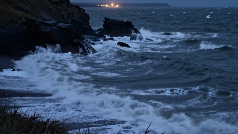
Gusts of 80 miles per hour were forecast for exposed coastal locations in the north of the United Kingdom as Storm Boelo intensified on Saturday evening. The Met Office issued amber weather warnings for the region, marking the second most severe level of alert. These warnings were active from 9 p.m. on Saturday until 9 p.m. on Sunday across mainland Scotland and the northern parts of England down to Carlisle.
A separate amber warning covered the north-east of Northern Ireland from 9 p.m. on Saturday until 10 a.m. on Sunday. Surrounding these zones, yellow wind warnings extended south into parts of England and North Wales. Forecasters expected widespread gusts between 60 and 70 miles per hour in the affected areas, with the highest speeds anticipated in exposed locations.
Strong winds were already being recorded before the amber warnings took full effect. Maximum gust speeds of 75 miles per hour were measured at the South Uist Range in the Western Isles, as well as in the Highland and Eilean Siar regions. The Met Office noted that heavy rain had also produced significant totals, with White Barrow in Wiltshire recording 72 millimeters of rain since 8 a.m. on Saturday.
Storm Boelo is the second named storm of the season, following Storm Austen. That earlier system brought strong winds to parts of the UK on Friday, including gusts of 76 miles per hour at St Mary’s airport in the Isles of Scilly. Hundreds of homes in south-west England remained without power after Storm Austen, although the National Grid reported that power had been restored to over 131,000 properties by 7 p.m. on Saturday.
The Environment Agency issued 58 alerts for areas across England where flooding was possible by 8 p.m. on Saturday. An additional 12 warnings indicated that flooding was expected in specific locations. Met Office chief forecaster Jason Kelly stated that the strongest winds and greatest potential for disruption would occur in the north. He advised the public to stay indoors to avoid flying debris and crashing waves.
Kelly urged residents to secure loose items outside and plan ahead for travel. The storm has already caused disruption to transport, with Dublin airport canceling nine outbound and ten inbound flights as of 4 p.m. on Saturday. Six inbound flights performed go-arounds, with five landing on the second attempt and one diverting to another airport before returning. Network Rail shared images of a trampoline and a shed near the tracks, prompting calls for residents to secure garden furniture.
Several public events were canceled in response to the weather. Visit Liverpool announced that the region’s River of Light event had been cancelled for safety reasons. In London, the annual Diwali on the Square celebrations scheduled for Sunday were also called off following recommendations from independent health and safety experts.
Other attractions that closed on Sunday include Edinburgh Castle and the Fountains Abbey estate in North Yorkshire. The abbey had planned to host its Fountains by Floodlight event. The storm’s impact continued to affect northern Britain as the amber warnings remained in effect through the night.